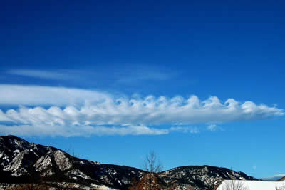
This photograph of Kelvin-Helmholtz clouds was taken in the foothills of the Rocky Mountains.
Click on image for full size
Courtesy of Benjamin Foster/UCAR
Kelvin-Helmholtz
Kelvin-Helmholtz clouds look like breaking waves in the ocean. After wind blows up and over a barrier, like a mountain, the air continues flowing through the atmosphere in a pattern that looks like a wave.
These clouds form when there is a difference in the wind speed or direction between two wind currents in the atmosphere.
You might also be interested in:
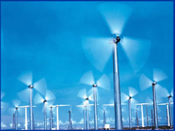
Wind is moving air. Warm air rises, and cool air comes in to take its place. This movement creates different pressures in the atmosphere which creates the winds around the globe. Since the Earth spins,
...more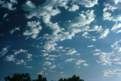
Altocumulus clouds are part of the Middle Cloud group (2000-7000m up). They are grayish-white with one part of the cloud darker than the other. Altocumulus clouds usually form in groups and are about
...more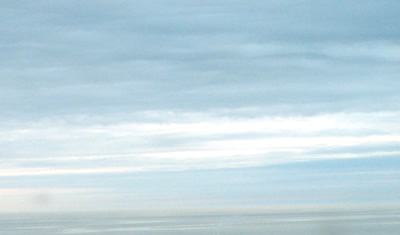
Altostratus belong to the Middle Cloud group (2000-7000m up). An altostratus cloud usually covers the whole sky and has a gray or blue-gray appearance. The sun or moon may shine through an altostratus
...more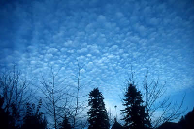
Cirrocumulus clouds belong to the High Cloud group (5000-13000m). They are small rounded puffs that usually appear in long rows. Cirrocumulus are usually white, but sometimes appear gray. Cirrocumulus
...more
Cirrostratus clouds belong to the High Cloud (5000-13000m) group. They are sheetlike thin clouds that usually cover the entire sky. The sun or moon can shine through cirrostratus clouds . Sometimes, the
...more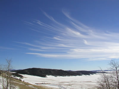
Cirrus clouds are the most common of the High Cloud (5000-13000m) group. They are composed entirely of ice and consist of long, thin, wispy streamers. They are commonly known as "mare's tails" because
...more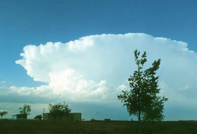
Cumulonimbus clouds belong to the Clouds with Vertical Growth group. They are generally known as thunderstorm clouds. A cumulonimbus cloud can grow up to 10km high. At this height, high winds will flatten
...more