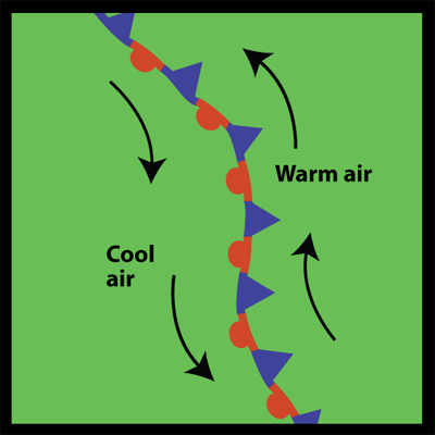
Weather map showing a stationary front
Windows to the Universe image by Lisa Gardiner
Stationary Fronts
A stationary front forms when a cold front or warm front stops moving. This happens when two masses of air are pushing against each other but neither is powerful enough to move the other. Winds blowing parallel to the front instead of perpendicular can help it stay in place.
A stationary front may stay put for days. If the wind direction changes the front will start moving again, becoming either a cold or warm front. Or the front may break apart.
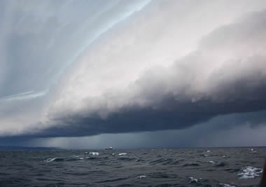
Because a stationary front marks the boundary between two air masses, there are often differences in air temperature and wind on opposite sides of it. The weather is often cloudy along a stationary front and rain or snow often falls, especially if the front is in an area of low atmospheric pressure.
On a weather map, a stationary front is shown as alternating red semicircles and blue triangles like in the map at the left. The blue triangles point in one direction and the red semicircles point in the opposite direction.
Last modified August 12, 2009 by Lisa Gardiner.
You might also be interested in:
When a front passes over an area, it means a change in the weather. Many fronts cause weather events such as rain, thunderstorms, gusty winds, and tornadoes. At a cold front passes there may there may
...more
Wind is moving air. Warm air rises, and cool air comes in to take its place. This movement creates different pressures in the atmosphere which creates the winds around the globe. Since the Earth spins,
...more
There are two main types of thunderstorms: ordinary and severe. Ordinary thunderstorms are the common summer storm. Ordinary thunderstorms last about one hour. The precipitation associated with them is
...more
A supercell thunderstorm is a huge rotating thunderstorm. It can last for several hours as a single storm. These storms are the most likely to produce long-lasting tornadoes and baseball-sized hail. Tornadoes
...more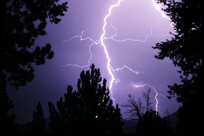
Lightning is the most spectacular element of a thunderstorm. In fact it is how thunderstorms got their name. Wait a minute, what does thunder have to do with lightning? Well, lightning causes thunder.
...more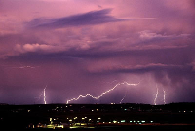
Lightning can take place in several different areas of a thunderstorm. Most lightning (about 80%) occurs within a single cloud and is called cloud-to-cloud lightning. Most of the other 20% of lightning
...more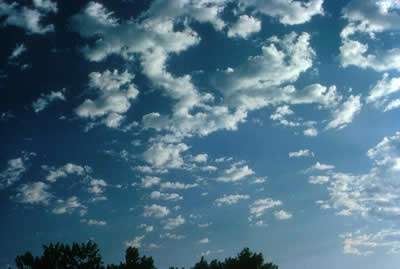
Altocumulus clouds are part of the Middle Cloud group (2000-7000m up). They are grayish-white with one part of the cloud darker than the other. Altocumulus clouds usually form in groups and are about
...more