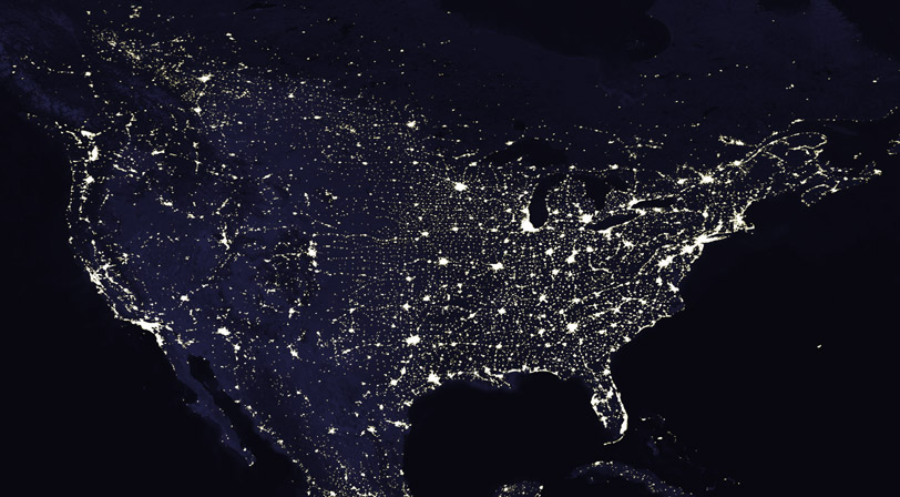

This image of city lights of the contiguous United States of America was derived from data from the Defense Meteorological Satellite Program (DMSP) Operational Linescan System (OLS). Originally designed to view clouds by moonlight, the OLS is also used to map the locations of permanent lights on the Earth’s surface.
The brightest areas of the Earth are the most urbanized, but not necessarily the most populated. Cities tend to grow along coastlines and transportation networks. Even without the underlying map, the outlines of the North American continent would still be visible. The United States interstate highway system appears as a lattice connecting the brighter dots of city centers. Even more than 100 years after the invention of the electric light, some regions remain thinly populated and unlit. Deserts are poorly lit, as are the boreal forests of Canada.
Image courtesy of the Defense Meteorological Satellite Program