Click on image for full size
Courtesy of NASA
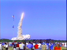
U.S. Launches Their Most Advanced Satellite Today
News story originally written on July 23, 2001
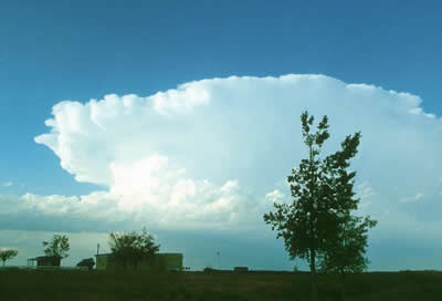
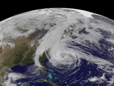
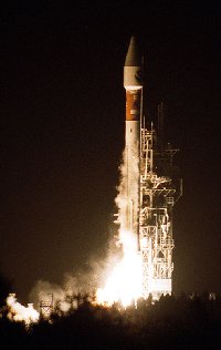
The GOES-M satellite was launched early this morning. This new satellite, representing a joint effort of NOAA (National Oceanic and Atmospheric Administration) and NASA (National Aeronautics and Space Administration), will track thunderstorms, hurricanes, floods and other severe weather on Earth. It will also track space weather outside the Earth's atmosphere.The GOES-M satellite is carrying the Solar X-ray Imager (SXI) instrument. This instrument will take a full picture of the Sun once every minute. NOAA and the U.S. Air Force will examine the images looking for solar flares, coronal mass ejections, coronal holes and active regions. These solar features can cause geomagnetic storms which can endanger astronauts, fry satellite electronics, surge power grids here on Earth, and disrupt long-distant radio communications. The SXI instrument is the most advanced instrument of its kind and it will help scientists forecast this space weather protecting human life while in space, and equipment in space and on Earth. "The SXI will provide the kind of improvements in space weather forecasting that satellite imagery did for tracking hurricanes," said Steven Hill, SXI Program Manager at NOAA's Space Environment Center in Boulder, CO.
GOES-M will be stored in orbit until it is needed to replace one of the current GOES 8 or GOES 10 weather satellites. GOES 8 currently surveys the east coast of the U.S. while GOES 10 constantly surveys the west coast of the U.S. When GOES-M reaches geosynchronous orbit 17 days from now, it will be renamed GOES 12.