

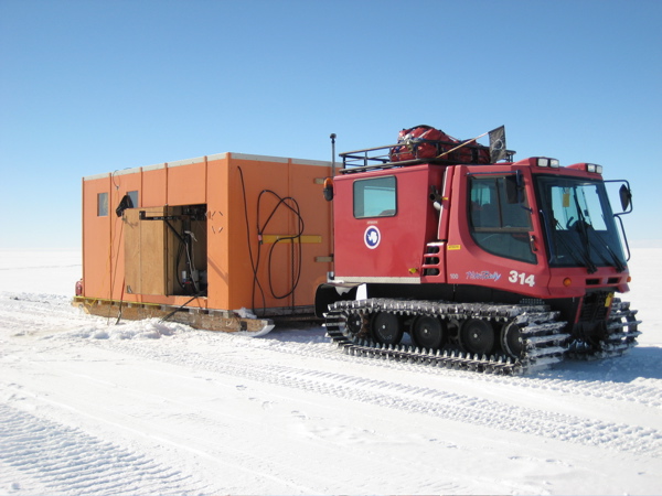
Image courtesy of Robin Frisch-Gleason. | ||||
| ||||
You might also be interested in:

Traveling Nitrogen Classroom Activity Kit
Check out our online store - minerals, fossils, books, activities, jewelry, and household items!...more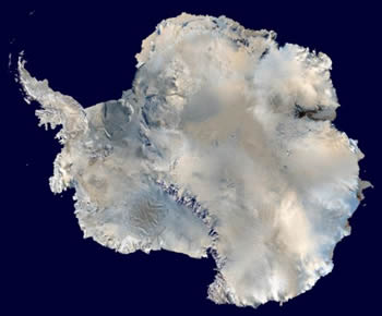
Antarctica
Antarctica is unique. It is the coldest, windiest, and driest continent on Earth. The land is barren and mostly covered with a thick sheet of ice. Antarctica is almost entirely south of the Antarctic Circle...more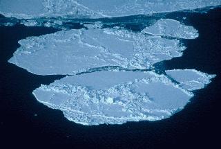
Sea Ice in the Arctic and Antarctic
Sea ice is frozen seawater. It can be several meters thick and it moves over time. Although the salts in the seawater do not freeze, pockets of concentrated salty water become trapped in the sea ice when...moreThe Antarctic Region
What Will You Find There? South of the Antarctic Circle (at 66.5°S latitude) you will find the continent of Antarctica surrounded by the Southern Ocean, the geographic South Pole and the magnetic South...more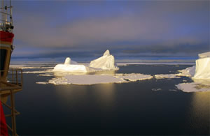
The Cryosphere and Global Climate Change
Changes in the cryosphere have a considerable impact on global climate. This is because the cryosphere is an important part of the Earth system and because it is so interconnected with other parts of the...more
Joanna Hubbard
This is my 10th year with the Anchorage School District as a science teacher, currently working with K-12 teachers around the district rather than in a classroom. My most recent classroom time was as a...more
Robin Frisch-Gleason
Robin Frisch-Gleason brings a background in both geology and teaching to the ANDRILL Project. Robin's first career was geology. She received her B.A. in Geology from Oberlin College in 1982, and her M.S....more
Robert (Bob) Williams
I'm a New Zealand teacher. I teach geography to high school students before some of them go on to university. We try to teach as much geology and earth science as we can, and we go on lots of field trips....morePlease log in
Science Blogs
Real Climate: climate science from climate scientists

Windows to the Universe, a project of the National Earth Science Teachers Association, is sponsored in part is sponsored in part through grants from federal agencies (NASA and NOAA), and partnerships with affiliated organizations, including the American Geophysical Union, the Howard Hughes Medical Institute, the Earth System Information Partnership, the American Meteorological Society, the National Center for Science Education, and TERC. The American Geophysical Union and the American Geosciences Institute are Windows to the Universe Founding Partners. NESTA welcomes new Institutional Affiliates in support of our ongoing programs, as well as collaborations on new projects. Contact NESTA for more information.
