Click on image for full size
Image Courtesy of the MODIS Science Team at NASA GSFC
Satellites in the VOCALS Field Campaign
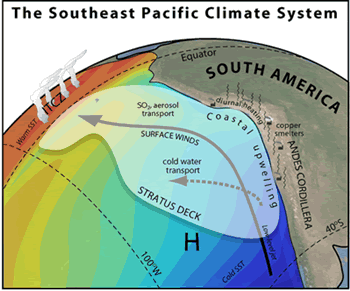
Many types of data from satellites are used throughout the VOCALS field campaign. Satellite observations complement data gathered from airplanes and ships to provide a more detailed overall picture of the climate of the Southeast Pacific. Measurements taken at closer range from ships and aircraft also help fine-tune the calibration of satellite-based remote sensing techniques.
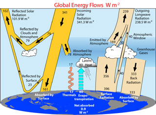
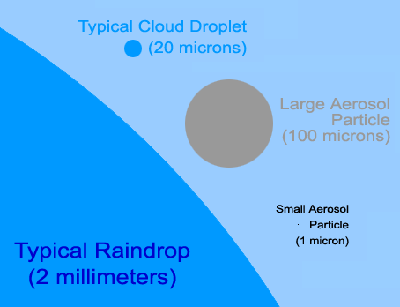
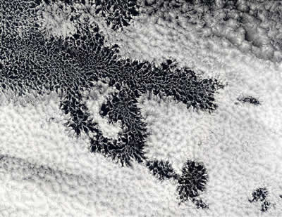
Satellites provide VOCALS atmospheric scientists with lots of data about clouds and the atmosphere. Satellite images show details of cloud distribution, especially the "pockets of open cells" (POCs) that are common in the VOCALS study area. Satellite sensors measure the amount of sunlight reflected back into space by clouds, helping scientists better understand Earth's radiation budget. Instruments on satellites help scientists determine wind speed and direction near Earth's surface, the distribution of aerosol particles in the atmosphere, and the size and density of water droplets within clouds.
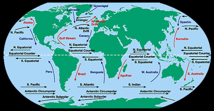
Satellites also observe characteristics of the ocean. They provide information on sea surface temperature, ocean currents, plankton concentrations, and even the height of the ocean surface. As you might imagine, data from ships and buoys complement the measurements taken from space.
Numerous NASA satellites contribute data to VOCALS scientists. They include Terra, Aqua, CloudSat, and QuikSCAT (NASA/JPL). The Tropical Rainfall Measuring Mission (TRMM) satellite, a cooperative venture between NASA and JAXA (Japan Aerospace Exploration Agency), also provides important data. NOAA's (National Oceanic and Atmospheric Administration) GOES-10 satellite generates valuable visible and infrared images of clouds in the Southeast Pacific. GOES stands for Geostationary Operational Environmental Satellite.