Click on image for full size
Courtesy of Jack Cook, WHOI (Woods Hole Oceanographic Institute)
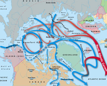
Arctic Ocean Currents
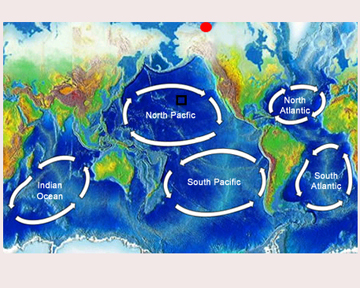
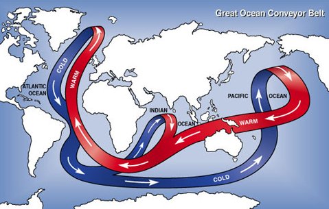
Do you want to learn about how water moves through the Arctic Ocean? Then put your finger on the map on this page. Start on the blue line to the far left of the map. This is where water enters the Arctic Ocean. You can then trace where that water would go as it gets swept into the Beaufort gyre. Water in the gyre goes round and round and round until it gets thrown out of the gyre and flows to the North Atlantic Ocean (follow any blue line that goes to the bottom of the map). The red lines on the map show where warmer water from the Atlantic comes into the Arctic Ocean. You can trace those lines too. You might think that warm water would melt sea ice in the Arctic, but the sea ice is protected from the warm water by layers of Arctic water.In the last few years, scientists have discovered that the Arctic region actually has an impact on surrounding areas and on global climate. Scientists are using special instruments called Ice-Tethered Profilers (ITP's) in the Arctic. Researchers can actually set these machines up in the Arctic and then leave them for up to three years without having to change their batteries! The instruments actually hang down about half a mile (800m) below Arctic ice and measure how cold and salty the water is. Then the measurements are sent to computers via satellite so scientists can access the data from anywhere in the world. Imagine looking up information about the Arctic Ocean while using your laptop on a nice, warm, sunny beach. That's just what scientists can do! And the instruments work year round in the harsh Arctic environment where there are high winds, low temperatures, thick ice and even polar bears who like to wander by! ITP's will help shed more light on the Arctic Ocean and its role in regional and global climate.