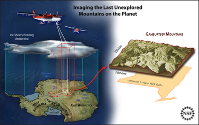
An artist's rendering of the Antarctica Gamburstev Province (AGAP) project.
Click on image for full size
Image Courtesy of Zina Deretsky/NSF
Research Team Confirms Alps-like Mountain Range Exists under East Antarctic Ice Sheet
News story originally written on February 24, 2009
A team of international scientists has completed an survey of part of the East Antarctic Ice Sheet. The survey was done by the Antarctica Gamburstev Province (AGAP) project, and their goal was to learn more about the ice sheet and mountains underneath it.
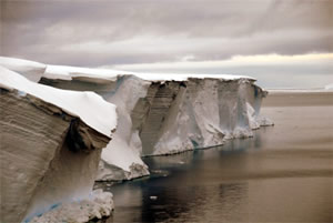
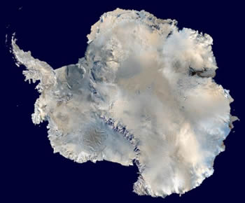
The researchers think this mountain range, which is buried more than four kilometers (2.5 miles) under the ice, caused the East Antarctic Ice Sheet to form. This massive ice sheet is more than 10 million square kilometers large and sits on top of the land of Antarctica.
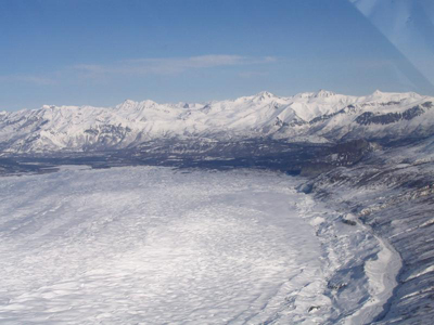
Fausto Ferraccioli, one of the scientists from the project, explains, "We now know that not only are the mountains the size of the European Alps but they also have similar peaks and valleys. But this adds even more mystery about how the vast East Antarctic Ice Sheet formed. If the ice sheet grew slowly then we would expect to see the mountains eroded into a plateau shape. But the presence of peaks and valleys could suggest that the ice sheet formed quickly--we just don't know."
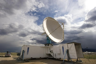
This project included scientists, engineers, pilots and support staff from Australia, Canada, China, Germany, Japan, the U.K. and the U.S. They used two airplanes that contained many instruments, including radar that can penetrate through the ice.
You might also be interested in:
Frozen water is found in many different places on Earth. Snow blankets the ground at mid and high latitudes during winter. Sea ice and icebergs float in the chilly waters of polar oceans. Ice shelves are
...moreThis page is not yet developed at the elementary level. Please check back for updates or click on the "Intermediate" button above for information.
...moreAntarctica is the coldest, windiest, and driest continent on Earth. It is about one and a half times the size of the United States. Almost all of Antarctica is covered with a thick layer of ice called
...moreRadar is short for "radio detection and ranging". A radar dish sends out pulses of radio waves. These waves bounce off objects and return to the dish. A radar echo shows up on the monitor and shows where
...moreScientists have learned that Mount Hood, Oregon's tallest mountain, has erupted in the past due to the mixing of two different types of magma. Adam Kent, a geologist at Oregon State University, says this
...moreThe Earth's mantle is a rocky, solid shell that is between the Earth's crust and the outer core. The mantle is made up of many different reservoirs that have different chemical compositions. Scientists
...moreSome faults look strong and like they wouldn’t cause an earthquake. But it turns out that they can slip and slide like weak faults causing earthquakes. Scientists have been looking at one of these faults
...more