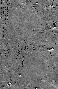
This image shows the landing site for the Mars Pathfinder mission. Viewing of the large version of this image is recommended.
Click on image for full size
Image from: NASA/JPL
The Mars Pathfinder Landing Site
Mars Pathfinder landed in a valley of Mars called Ares Vallis, shown in this picture. Ares Vallis is near Xanthe Terra, which can be seen on the large map of Mars. The picture to the left is low-resolution and turned sideways. You have to click on the image to see everything.
Scientists expected to find many different sorts of rocks to experiment with. Rocks may have come from mountains around the landing site, some of which are 30 kilometers away, to the south, as viewed in the big image.
Following the Rover experiments however, the origin of the rocks of the plain became less clear. Reasons why the landing site may be different than expected include:
- the nature of the flood plain, which the Rover observed up close
- the presence of nearby impact craters, particularly one called "Big Crater", better seen in the image at high resolution.
Scientists examined the
rocks and
soils around the Rover carefully to prove what the landing site was like.
You might also be interested in:
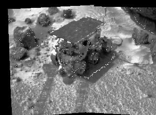
Spinning the Rover's rear wheels was one way for scientists to test the soil of Mars. As the wheels dug into the surface, the Rover discovered that much of the ground is made of dust, possibly deposited
...more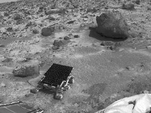
These are the findings of Mars Pathfinder. Rounded Pebbles were found - a result from analysis of the landing site, the rocks, and the soils. there were a variety of rocks deposited by a catastrophic flood
...more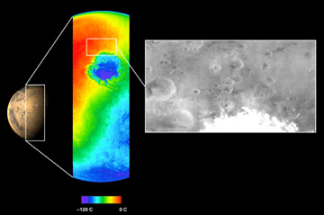
The Mars Odyssey was launched April 7, 2001. After a six-month journey, the Odyssey arrived at Mars on October 24, 2001. The instruments onboard the Mars Odyssey will study the minerals on the surface
...more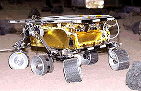
The Mars 2005 mission is still in the planning stages. It is set to launch in the year 2005.
...more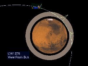
Aerobraking slowed the Mars Global Surveyor down when it reached Mars. Aerobraking also helped MGS to get into the right orbit for mapping the surface of Mars. Aerobraking means that the MGS flew through
...more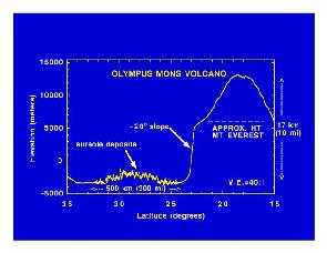
Mars Global Surveyor carries an instrument which measures the heights of things. This instrument is called an altimeter, or "altitude-meter". The graph to the left shows the results returned from Mars
...more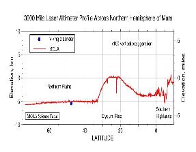
Mars Global Surveyor carries an instrument which measures the heights of things. The picture to the left shows Mars Global Surveyor's measurement of the size of the giant cliff which separates the southern
...more


