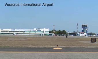
Click on image for full size
Courtesy of the Digital Image Library, UCAR
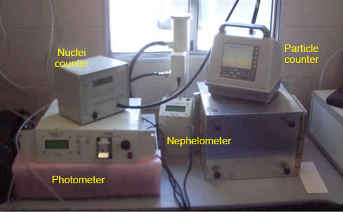
MILAGRO Instruments
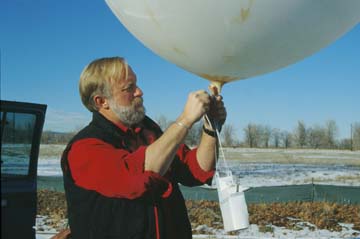
Researchers will set up instruments on the ground during MILAGRO to make observations and measurements about the air around Mexico City that can't be made from aircraft. Here are a few examples of the instruments they will use:Radiosondes: Scientists have been using these helium-filled weather balloons since the 1930s. As the balloon rises into the atmosphere, an instrument package attached to it measures temperature, pressure, and humidity at frequent intervals. The readings are sent via radio to a ground station. By monitoring the location of the radiosonde with Global Positioning System (GPS) technology, researchers can also infer wind speed and direction. During MILAGRO, teams based at ground sites in the Mexico City vicinity will launch radiosondes to make vertical profiles of the atmosphere.
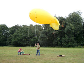
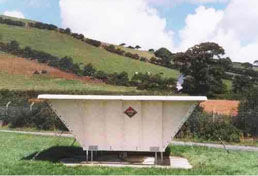
Tethersonde: A tethersonde is very similar to a radiosonde, except that the instruments are attached to a tethered (fixed) balloon. The tether keeps the instrument package closer to the ground, limiting its readings to the boundary layer, or layer of the atmosphere that is just above Earth's surface where wind is influenced by friction with topography. The instruments can move up and down the tether for a vertical profile.
Wind profilers: Wind profilers are sensors that continuously measure wind speed and direction up to about 13,000 feet (4,000 meters) by detecting signals from microwave radar beams that are directed upward. MILAGRO researchers will deploy wind profilers near Mexico City to measure wind speed and direction. This will help them determine the paths of air pollution particles that blow out of Mexico City.
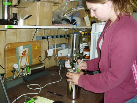
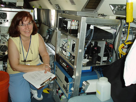
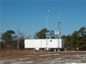
Mobile laboratories: The MILAGRO researchers will use a variety of laboratories based in vans and trailers. The labs, which contain instruments for sampling particles and gases in the air, will be deployed throughout the Mexico City basin.
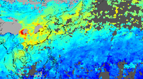
Satellites: MILAGRO researchers will also use data retrieved by satellites circling Earth to learn more about the distribution of clouds, aerosols, and different chemicals in the atmosphere. One satellite they will look to is MOPITT, which flies on NASA's EOS Terra spacecraft. The satellite measures the distribution of the pollutant carbon monoxide in the troposphere, or lowest layer of Earth's atmosphere.
Other instruments on airplanes will also be used during the campaign.