This is a map of Venus' Aphrodite Terra region.
NASA
Aphrodite Terra
Aphrodite Terra, the Greek name for the goddess Venus, is about half the size of the African continent, and is to be found along Venus' equator.
Aphrodite Terra is different from Ishtar Terra in that, instead of mountain ranges, there are deep rift valleys, resembling the East African Rift Valley and other terrestrial spreading ridges similar to Earth's mid-ocean ridges.
This region of Venus may provide evidence that the planet's surface is in motion like Earth's is.
You might also be interested in:

How did life evolve on Earth? The answer to this question can help us understand our past and prepare for our future. Although evolution provides credible and reliable answers, polls show that many people turn away from science, seeking other explanations with which they are more comfortable.
...more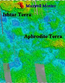
Ishtar Terra is one of the Plateau Highlands of Venus, is found near the north pole, and is about the size of the continental United States. Ishtar Terra contains the four main mountain ranges of Venus
...more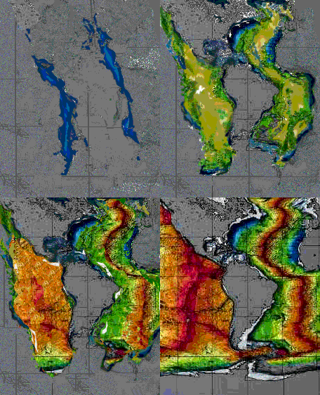
This diagram provides evidence of seafloor spreading by showing the ages of ocean floor in the Atlantic and eastern Pacific Oceans. The red colors are the youngest parts of the seafloor, where fresh new
...more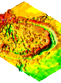
The feature of Venus' topography called a "Corona" is a deep, curving, trench surrounding an elevated plain. Coronae is the plural term for corona. This is an image of Artemis Corona which is found on
...more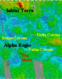
Alpha Regio and Ovda Regio are examples of what is known as a "Plateau Highland" of Venus. Among the volcanic features of Alpha Regio is Eve Mons. Unlike volcanic rises, plateau highlands have few volcanoes,
...more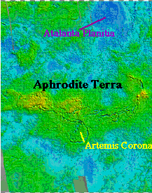
Aphrodite Terra, the Greek name for the goddess Venus, is about half the size of the African continent, and is to be found along Venus' equator. Aphrodite Terra is different from Ishtar Terra in that,
...more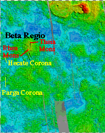
Beta Regio and Atla Regio are examples of what is known as a volcanic rise. Volcanic rises are broad, sloping highlands over 1000 km across. They are cut by deep troughs 100-200 km across. These troughs
...more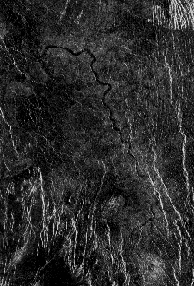
This image clearly shows a channel where something once flowed. Without proper measurements, scientists can only guess what sort of liquid may have flowed through this channel. On Earth, such channels
...more


