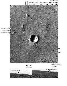
This image shows the landing site for the Mars Pathfinder mission.
Click on image for full size
Image from: NASA/JPL
The Flood Plain explored by Mars Pathfinder
The nature of the flood plain observed by the Rover was unusual compared to a terrestrial flood plain, and suggested that it might not actually be a floodplain. The rocks could have come from ejecta from impacts which created the nearby craters.
Some of the reasons for doubting the flow-origin hypothesis include:
- some of the boulders found by the Rover were larger than those expected to be carried by catastrophic flood waters.
- there was no gravel, as if the gravel were carried away by continued water or wind during the waning phases of the flood
- the remaining rocks were not destroyed by sand
-
(this may be either because there was not enough sand to do damage, or that sandblasting happens in pulses)
On the other hand, scientists discovered many
pebbles, cobbles and
conglomerate-type rocks. These suggest that the landingsite
*was* formed from outflowing water.
Scientists considered carefully whether the origin of the rocks could be from fluvial processes or from impact processes. Findings from these studies contribute to the overall results of the Pathfinder mission, and help answer some questions.
You might also be interested in:
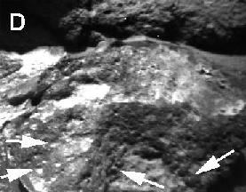
This image shows pits and holes (ventifacts) in a small rock found by the Mars Pathfinder Rover. These ventifacts are artifacts of weathering on Mars and were created by wind erosion. The Souffle rock
...more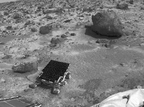
These are the findings of Mars Pathfinder. High Silica Rocks - a result from chemical analysis of the Martian rocks. suggestive of differentiated (evolved) rocks and minerals. helps establish that, like
...more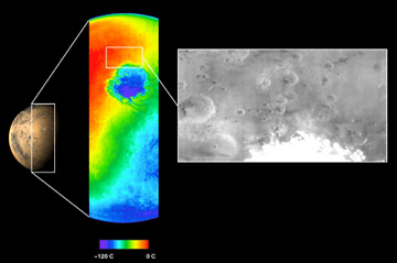
The Mars Odyssey was launched April 7, 2001, from Cape Canaveral Air Force Station in Florida. After a six-month, 285 million-mile journey, the Odyssey arrived at Mars on October 24, 2001 (02:30 Universal
...more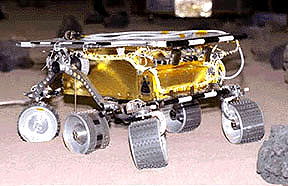
The Mars 2005 mission is still in the planning stages. It is set to launch in the year 2005.
...more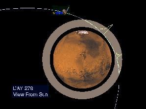
On September 12, 1997, the Mars Global Surveyor successfully entered a highly elliptical orbit around Mars. To get into the near-circular, near-polar, low-altitude orbit necessary to map the surface of
...more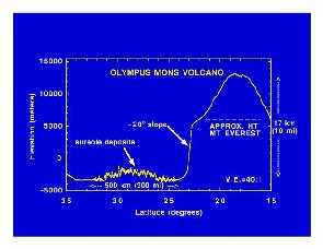
Mars Global Surveyor carries an instrument which measures the altitudes of things. The instrument is called an altimeter, or "altitude-meter". The graph to the left shows the results returned from Mars
...more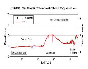
Mars Global Surveyor carries an instrument which measures the altitudes of things. The instrument is called an altimeter, or "altitude-meter". The graph to the left shows Mars Global Surveyor's measurement
...more


