Ice Storm Image Gallery

This gallery is a collection of images from the ice storm that struck Norman, OK on December 9-10, 2007. The ice was formed by freezing rain. Roadways were very icy, which caused accidents. The storm caused damage to trees and power lines. Over a million people lost electrical power. Several of the images were taken at the campus of the University of Oklahoma.

Click on images for full size.

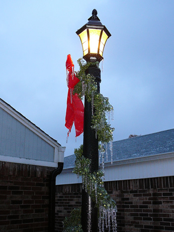
This lamppost was covered in ice from freezing rain. The ice hanging down that looks like an icicle was freezing rain that froze on contact with the cold garland.
Courtesy of Robin Tanamachi
These flowers have been encapsulated by ice from the freezing rain.
Courtesy of Ken Kehoe
A bench with several icicles hanging down after the freezing rain had fallen. Notice how the grass was covered in ice as well.
Courtesy of Chris Vagasky
This image is of a wind vane where the cups at the top spin around to show the speed and direction of wind. Unfortunately the wind vane will not work properly covered in ice from the storm. The ice hanging far off the side of the cups showed that the cups were spinning as the rain fell, causing the ice to accumulate on and beyond the cups.
Courtesy of Nathan Bain
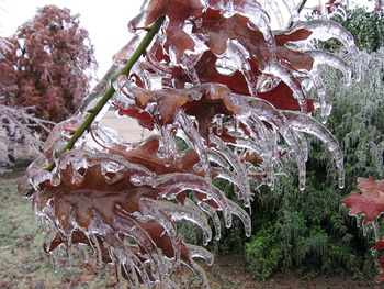
The ice on the leaves of this tree made the leaves look like talons. This image shows that the wind was blowing these leaves in the direction that they are frozen; the talons of ice show where freezing rain collected on the leaves.
Courtesy of C.L.
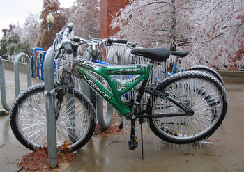
Bikes that were frozen to the bike rack where they were parked. Notice that the spokes of the wheels each have a thick coating of ice.
Courtesy of Karl Offen
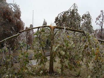
A frozen tree that split into two because of the weight of the ice on both sides.
Courtesy of Alexandre Fierro
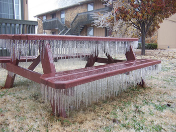
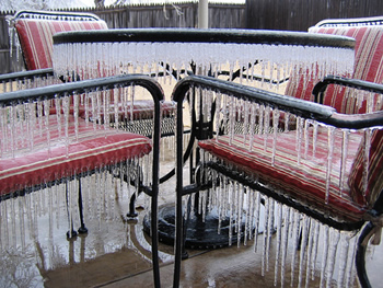
This image shows outdoor patio furniture full of icicles from the freezing rain. The freezing rain fell through all of the holes in the table creating icicles off of every one.
Courtesy of James Hocker
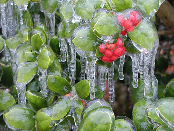
A layer of ice created thick icicles from the leaves of this tree. All the berries were frozen together because of the large amount of freezing rain.
Courtesy of Tracy Reinke
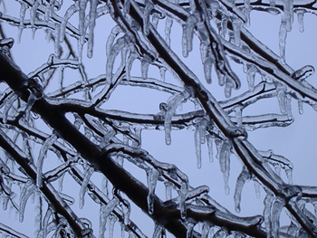
This image shows a few branches from a tree with icicles.
Courtesy of Timm Decker
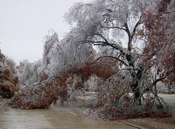
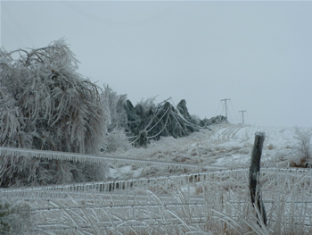
A street where branches from trees were blocking the road. The extra weight of the ice that accumulated on leaves and the branches of the trees caused the branches to sag onto the road.
Courtesy of Renee McPherson
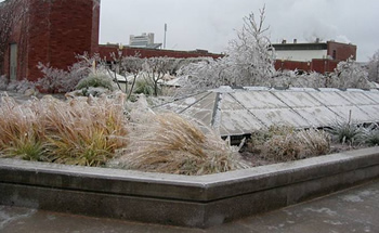
This image is of a garden that was frozen by the freezing rain. Every leaf of the plants was coated in ice.
Courtesy of Renee McPherson

Sleet & Freezing Rain

Images and Multimedia on Windows to the Universe

Last modified July 24, 2008 by Vanessa Pearce.

You might also be interested in:
Traveling Nitrogen Classroom Activity Kit

Check out our online store - minerals, fossils, books, activities, jewelry, and household items!...more

Sleet and Freezing Rain

Sleet forms when a partially melted snowflake or raindrop turns back into ice as it is falling through the air. Sleet starts out in the clouds as a snowflake or a raindrop. If it starts out as a snowflake,...more

Rain

Rain is precipitation that falls to the Earth in drops of 5mm or more in diameter according to the US National Weather Service. Virga is rain that evaporates before reaching the ground. Raindrops form...more

Drizzle

Drizzle is light precipitation that is made up of liquid water drops that are smaller than rain drops. Drizzle can be so light that only a millimeter of water falls to the Earth's surface in one day. It...more

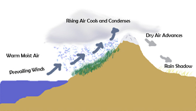
Rain Shadow

A rain shadow is a dry region of land on the side of a mountain range that is protected from the prevailing winds. Prevailing winds are the winds that occur most of the time in a particular location on...more

Altocumulus

Altocumulus clouds are part of the Middle Cloud group (2000-7000m up). They are grayish-white with one part of the cloud darker than the other. Altocumulus clouds usually form in groups and are about...more

Altostratus

Altostratus belong to the Middle Cloud group (2000-7000m up). An altostratus cloud usually covers the whole sky and has a gray or blue-gray appearance. The sun or moon may shine through an altostratus...more

Cirrocumulus

Cirrocumulus clouds belong to the High Cloud group (5000-13000m). They are small rounded puffs that usually appear in long rows. Cirrocumulus are usually white, but sometimes appear gray. Cirrocumulus...more

Windows to the Universe, a project of the National Earth Science Teachers Association, is sponsored in part is sponsored in part through grants from federal agencies (NASA and NOAA), and partnerships with affiliated organizations, including the American Geophysical Union, the Howard Hughes Medical Institute, the Earth System Information Partnership, the American Meteorological Society, the National Center for Science Education, and TERC. The American Geophysical Union and the American Geosciences Institute are Windows to the Universe Founding Partners. NESTA welcomes new Institutional Affiliates in support of our ongoing programs, as well as collaborations on new projects. Contact NESTA for more information. NASA ESIP NCSE HHMI AGU AGI AMS NOAA